


Return of the Snowpocalypse
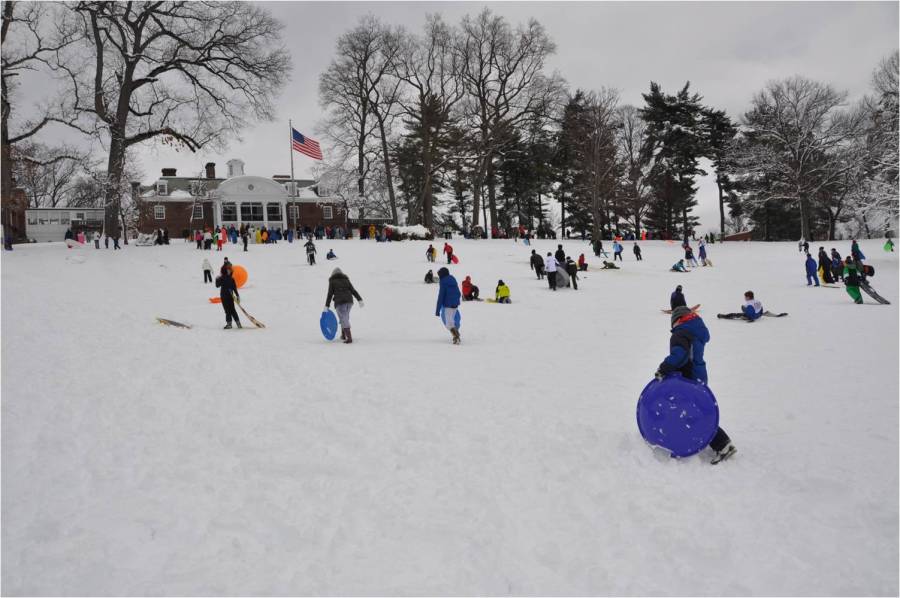
Last winter, Maryland had 26 inches of snow, six inches above average. This was not even close to the so-called “snowpocalypse” or “snowmageddon” of 2009-2010 when 77 powdery inches fell in Baltimore County, and an all-time record of 262.5 inches accumulated in Garrett County. This winter is expected to be colder and snowier than usual, and may even rival the snowfall of winter 2009-2010.
The polar vortex of last year, which caused temperatures as low as -20 degrees in some places, will return from time to time in January and February, but it’s not anticipated to be as persistent this year. Late December to mid-January will be the coldest, and the snowiest days will be from mid-December to mid-February.
But what will cause another freezing, frosty winter? The weather phenomenon known as El Niño is a large factor in the possibility of another “snowmageddon.” El Niño is an area of warm water in the Tropical Pacific, and when the water is cooler, colder temperatures and higher snowfall can be expected for the East Coast. Luckily for snow lovers, El Niño is very weak so far this year and is not predicted to get much stronger.
With many factors like the polar vortex and El Niño joining forces this winter, weather in the mid-Atlantic area is likely to be much colder and snowier than average, possibly even becoming another “snowpocalypse.” So get your skis and snow shovels ready, because the snow will be piling up this winter!
Sources:
http://www.cpc.ncep.noaa.gov/products/predictions/long_range/fxus05.html
http://www.accuweather.com/en/weather-news/us-2014-2015-winter-forecast/35422753
http://www.noaanews.noaa.gov/stories2014/20141016_winteroutlook.html
http://firsthandweather.com/396/firsthand-weathers-final-2014-15-winter-forecast/